


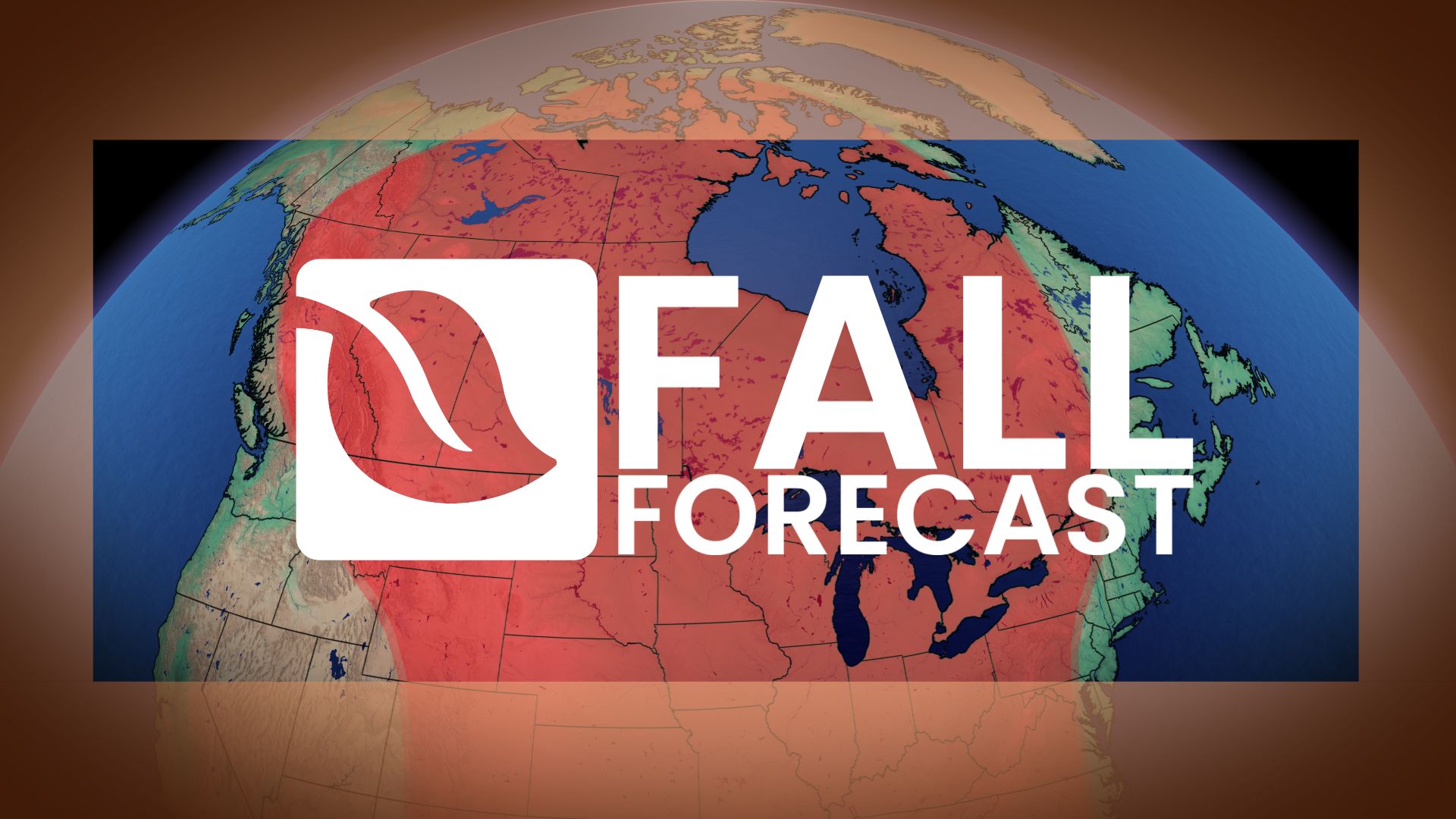
A rare, powerful El Niño is expected to stretch autumn across most of the country, with consequences for farmers, ski hills, Arctic sea ice, and anyone hoping for an early snowfall.
The latest Canada fall forecast suggests Canadians should not expect winter to settle in early this year. One of the strongest El Niño events ever recorded is building in the tropical Pacific, and The Weather Network’s seasonal outlook says it will likely slow the country’s usual autumn slide into persistent cold.
The outlook, prepared by meteorologist Tyler Hamilton with guidance from senior long-range meteorologist Dr. Doug Gillham, favours more mild spells than cold snaps, fewer classic fall storms, and a late arrival of lasting winter conditions from coast to coast. Forecasters stress, however, that cold days, early snow and at least one major storm remain firmly on the table.
Why an Exceptional El Niño Is Driving the Canada Fall Forecast
El Niño is a periodic warming of surface waters in the central and eastern tropical Pacific. When it is strong, it reshapes atmospheric circulation far beyond the tropics, and Canada typically feels it through milder conditions, especially in the colder months.
This year’s event is described as exceptional, and the forecast identifies three main forces shaping the season:
- The El Niño itself: it tilts the overall pattern toward milder weather across much of the country.
- A split jet stream and Pacific-dominated flow: more Pacific air streaming over Canada makes long-lasting Arctic outbreaks less likely.
- Recurving typhoons: storms in the western Pacific that curve northward can jolt the jet stream and briefly knock fall out of its default mild mode.
Even so, the outlook is blunt that no El Niño can stop the seasonal march toward cold. Temperatures will fall; the question is how quickly and how steadily.
B.C. and the Prairies: Lingering Warmth, Harvest Relief and Mountain Snow
In British Columbia, the cooler turn of early September is not expected to mark the end of warm weather. The Interior is forecast to slip back into a milder, drier pattern for a large part of the fall, while coastal areas should stay closer to seasonal temperatures. A more active Pacific storm track is expected later in the season, and higher alpine terrain may turn cold enough for meaningful early snow, which gives ski operators some cause for cautious optimism.
Alberta’s outlook carries a practical upside for agriculture. After a stormy summer left many operations behind schedule, a warmer and drier fall should give producers a longer window to finish a delayed harvest. Winter is unlikely to lock in early, though chilly interruptions, early snow and hard freezes remain possible. Precipitation overall leans below normal.
Saskatchewan and Manitoba are expected to run warmer than normal through the season. Cold shots and early wintry episodes are still likely, but mild air is forecast to push back repeatedly. Drier conditions are favoured in most of the region, with southern areas possibly finishing closer to normal precipitation.
Ontario and Quebec: An Extended Autumn and Early Ski-Season Worries
Ontario may be in for a longer version of fall than usual. Fewer classic autumn storms are expected, and a good stretch from mid-September to mid-October could run surprisingly close to seasonal. A stronger warmth signal is forecast to emerge later in the fall.
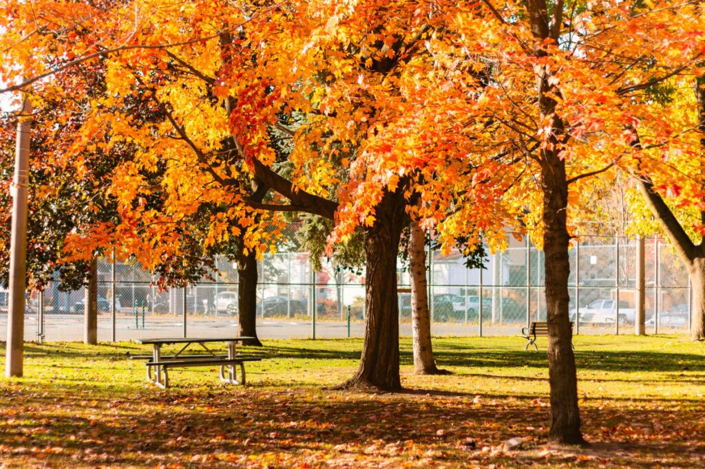
Forecasters warn residents not to read too much into an early chill, calling it a potential fall fake-out rather than the start of winter. They also caution that a single major storm can still define the season. The late arrival of sustained cold raises concerns for ski areas that depend on early snowmaking.
In Quebec, summer’s peak heat faded early, but that does not mean a rapid plunge into winter. September and October are expected to keep swinging between warm and cool days, while November carries a clearer mild signal. Much of the province is forecast to be drier than normal, and the delayed onset of lasting cold could make for a difficult start to the ski season.
Atlantic Canada Keeps Watch on Warm Waters and Late Storms
Temperatures in Atlantic Canada are expected to finish close to seasonal, though cooler interruptions may be more noticeable in the early part of fall. Atlantic hurricane activity had been well below normal through early September.
That quiet start is not a guarantee of calm. Exceptionally warm ocean waters near the region mean late-season tropical systems still pose a risk, and storms that develop closer to North America remain a significant wildcard. A storm track across the southern United States may also occasionally send moisture into the region.
Northern Canada, Hudson Bay Ice and the Polar Bear Wait
Most of northern Canada is forecast to be warmer than normal, but the outlook notes this is relative. Through the heart of fall, seasonal average temperatures in the North drop by close to 1°C every couple of days, so a mild fall there is still a rapidly cooling one.
The more consequential signal concerns ice. Hudson Bay freeze-up is likely to be delayed, as it was last season, extending the wait for polar bears that depend on sea ice to return to hunting. Arctic sea ice is expected to stay well below normal this fall, with long-term climate warming named as the primary driver and the exceptional El Niño adding further warmth.
Region by Region: The Fall 2026 Outlook at a Glance
| Region | Temperature signal | Precipitation signal | Key watch point |
|---|---|---|---|
| British Columbia | Milder Interior; near seasonal on the coast | Drier Interior; more active Pacific storms later | Possible early alpine snow |
| Alberta | Warmer than normal | Below normal | Longer harvest window |
| Saskatchewan and Manitoba | Warmer than normal | Drier, except possibly the south | Early wintry episodes still likely |
| Ontario | Near seasonal mid-Sept to mid-Oct; warmer late | Fewer classic fall storms | Early ski-area snowmaking |
| Quebec | Changeable Sept–Oct; milder November | Below normal for much of the province | Challenging ski-season start |
| Atlantic Canada | Close to seasonal | Occasional moisture from the south | Late-season tropical systems |
| Northern Canada | Warmer than normal | Not specified | Delayed Hudson Bay freeze-up |
Why a Record El Niño Does Not Guarantee a Record Fall
Forecasters describe an “El Niño paradox”: an unprecedented event does not automatically produce an unprecedented season in Canada. Because this El Niño is so unusual, its downstream effects may not mirror past strong events, which adds uncertainty to the outlook.
Seasonal forecasts describe the dominant pattern, not day-to-day weather. That leaves room for surprises, including significant storms. Fewer storms do not mean weaker ones, and the outlook says a historic fall storm cannot be ruled out.
What a Delayed Winter Means for Farms, Ski Hills and Households
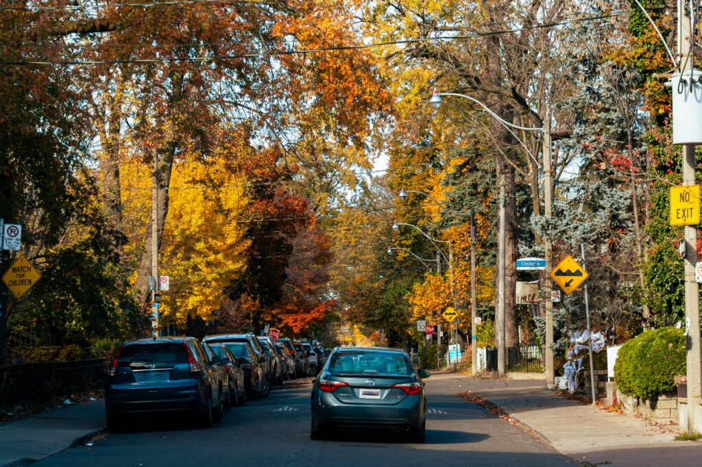
For Canadian readers following business and the economy, the regional signals carry real-world weight. The clearest direct benefit flagged in the forecast is for Alberta producers, who may get extra time to bring in crops after a difficult summer.
The ski industry faces a more mixed picture. Central and eastern Canada are being watched closely for a genuine risk of delays, since resorts there rely heavily on cold nights for snowmaking. Western Canada is more nuanced and depends on elevation, and the outlook notes that previous strong El Niño years have even brought above-average snow to B.C.’s mountains.
General context: mild, drier autumns can also influence seasonal spending patterns, from heating demand to outdoor recreation and fall tourism. The forecast does not quantify any economic effect, so these remain areas to watch rather than predicted outcomes.
The Winter Question Hanging Over El Niño
The outlook says El Niño will likely delay the start of persistent winter conditions, but how the full winter unfolds remains open. Because this event developed unusually early, forecasters are asking whether it will peak before winter begins or hold its exceptional strength into the coldest months.
A Winter Sneak Peek is expected in the coming weeks, with the winter forecast depending on El Niño’s evolution and several other atmospheric factors. Until then, the guidance is simple: winter weather will show up at times this fall, but it is not expected to stay.
Frequently Asked Questions
Does a warmer fall mean no winter weather until December?
No. Snow, hard freezes and Arctic air are still expected during the transition; they are simply more likely to be interrupted by mild spells.
Will the ski season start late?
There is a real risk of delays in central and eastern Canada, while western Canada’s outlook depends heavily on elevation.
Will there be an early snowstorm?
It depends on location. Forecasters call one highly unlikely in Victoria, B.C., but expected in Churchill, Manitoba.
Does El Niño mean a mild winter?
Not necessarily. The winter forecast has not yet been released and will depend on how El Niño and other atmospheric factors evolve.