


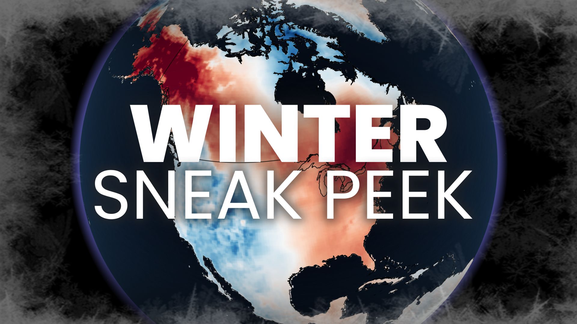
Forecasters say December could feel like a drawn-out autumn, but storms, snow and sharp Arctic blasts are still possible later in the season.
An early Canada winter forecast released on October 7, 2026, suggests the country could be heading into one of its mildest winters in years. It also flags the possibility of one of the warmest starts to winter on record. Forecasters say a record-breaking El Niño, expected to peak around the start of the season, is the main reason they are confident the months ahead will lean warm.
The outlook comes with an important catch. While the mild signal is strong, forecasters say it is far less clear how often real winter weather will break through, so the question of how wild the season becomes remains open. Their one-word summary of Canada’s winter personality this year: elusive.
What Is Driving This Canada Winter Forecast
At the centre of the outlook is El Niño, which forecasters describe as record-breaking and still building. The expectation is that it will reach its peak right around the time winter begins, giving it maximum influence over the season’s opening weeks.
A day after the Canadian outlook was published, the United Nations’ World Meteorological Organization added weight to that view. On October 8, the agency said El Niño will keep strengthening until it peaks in December and is almost certain to persist until February 2027. That timeline lines up closely with the period Canadian forecasters expect to be most strongly affected.
General context: El Niño is a periodic warming of sea surface temperatures across the central and eastern equatorial Pacific Ocean. It can reshape the jet stream and storm tracks over North America, and strong events have historically been associated with milder-than-normal winters across much of Canada. The strength of any single event, and how quickly it fades, can change how that influence plays out.
December Could Feel Like an Extended Fall
The sharpest contrast in the outlook is with last year. Winter 2025-26 opened with plenty of Arctic air spreading across the country. This season is expected to start in nearly the opposite direction.
Forecasters say December may feel more like a prolonged autumn than the start of winter. The mild opening is described as the highest-confidence part of the entire forecast, with a real chance of record-breaking warmth to begin the season.
Readers who followed the autumn outlook will recognise the pattern. Brand Magazine reported earlier on how an exceptional El Niño was expected to hold winter at bay through the fall, and the winter preview extends that theme into December.
Winter in Two Acts: December Versus Late January and February
Forecasters split the season into two distinct phases, each carrying a different level of confidence.
| Phase | Timing | What forecasters expect | Confidence |
|---|---|---|---|
| Act I: The start | December | Very mild, potentially record-breaking opening to winter | High |
| Act II: The heart | Late January and February | Higher-impact wintry intrusions, but unlikely to last long | Lower; depends on how El Niño behaves |
The pivotal question for the second act is whether El Niño stays in control. If it weakens quickly enough, winter could attempt a comeback or deliver a stronger finish than the opening suggests.
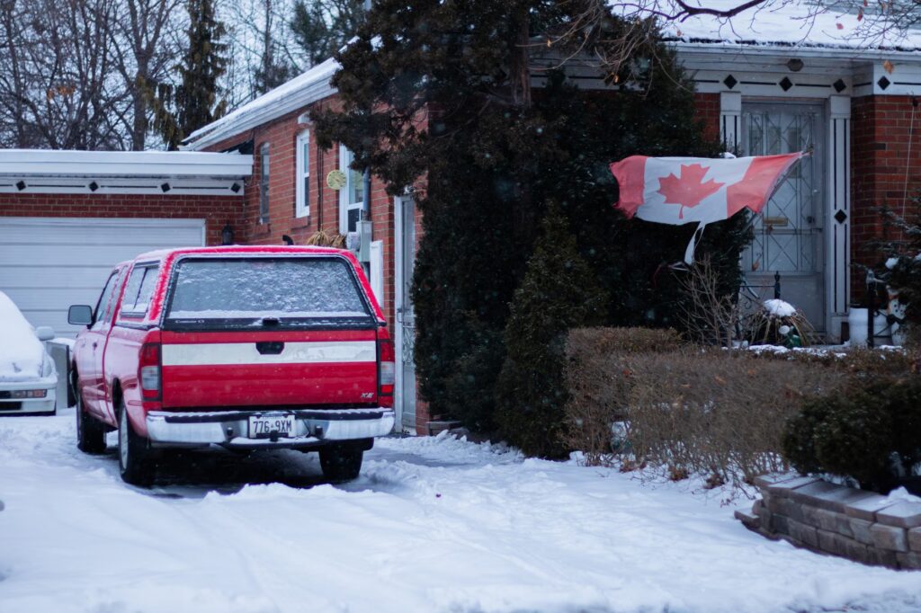
Even in that scenario, forecasters say a full reversal is unlikely. The real debate is whether the season turns into a blowout, overwhelmingly mild and historic, or simply ends up somewhat milder than normal.
Lessons From 1997-98, 2015-16 and 2023-24
To frame expectations, forecasters point back to three previous strong El Niño winters: 1997-98, 2015-16 and 2023-24. Each is cited as an example of how a powerful El Niño can heavily tilt Canadian winters toward warmth.
The comparison offers a useful reference point for Canadians trying to picture the months ahead. It also carries a reminder that past El Niño years were not uniformly snow-free or storm-free, which is why forecasters stress that winter can still break through in sharp bursts.
The summary of what is already known is straightforward:
- Strong El Niño favours warmth: past strong events point toward a mild season.
- The mild start is the safest bet: December carries the highest confidence in the forecast.
- Winter has not been cancelled: bursts of wintry weather can still arrive, sometimes abruptly.
Why Ontario and Quebec Could Still Dig Out
One of the outlook’s clearest warnings is that a mild winter is not necessarily a quiet one. High-impact storms can still develop, and in places where temperatures stay just cold enough, an active storm track can produce significant snowfall.
Forecasters single out parts of Ontario and Quebec as especially sensitive. If storms repeatedly move through those provinces while temperatures hover near the freezing mark, the difference between rain and heavy snow could come down to a degree or two.
Elsewhere, Canada’s traditionally colder regions and higher elevations can still record heavy snowfall even in an overall mild season. Sharp Arctic intrusions and major storms also remain possible across the country.
The Polar Vortex and Other Wildcards
Forecasters list three factors that will define how the season unfolds:
- El Niño strength: how powerful the event becomes at its peak.
- El Niño timing and fade: when it peaks and how quickly it weakens afterwards.
- The wildcards: above all, the behaviour of the polar vortex.
The polar vortex is singled out because a disrupted vortex can send blasts of Arctic air southward, even during a season that otherwise leans mild. Forecasters say sharp cold outbreaks remain on the table, particularly if the vortex misbehaves.
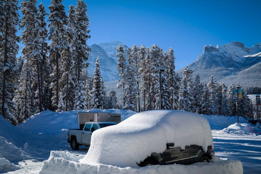
The other open question is timing. Forecasters are watching whether El Niño peaks slightly earlier than expected and then weakens rapidly. If that happens, it could alter the overwhelmingly mild path the season currently appears set to follow, and potentially reshape the final weeks of winter.
What a Mild Winter Could Mean for Households and Businesses
General context, not part of the forecast: A warmer-than-usual winter tends to ripple across the Canadian economy in predictable ways, though the actual impact depends on how the season plays out region by region.
- Home heating: milder stretches can reduce heating demand, which may ease utility bills for some households. Related coverage in Canadian weather media has already raised the question of whether El Niño could save consumers money.
- Seasonal retail: sellers of winter tires, outerwear and snow-clearing equipment often watch early-season weather closely, since a slow start can shift buying patterns.
- Tourism and recreation: ski resorts and winter-event organisers in lower-elevation areas are typically more exposed to mild spells, while higher-elevation destinations may be less affected.
- Municipal budgets: fewer cold snaps can mean lower road-maintenance costs, but storms that hover near freezing can bring freezing rain and slush that are costly to manage.
El Niño’s effects also extend beyond temperature. Recent reporting on the current event has highlighted concerns about coastal flooding risks in Canada and research suggesting that super El Niños can speed up global sea level rise. Other coverage has confirmed this as the warmest El Niño on record, noting it was still intensifying.
The November 25 Update That Will Sharpen the Picture
The October outlook is a preview rather than the final word. Forecasters say they will release their official 2026-27 Winter Forecast on November 25, promising more clarity on how the season is likely to evolve.
That update should give a better read on El Niño’s peak strength and early signs of how quickly it might fade, both of which will shape whether late January and February bring a meaningful return of winter. Until then, the message for Canadians is to expect a soft start, while keeping the shovel within reach.
Frequently Asked Questions
Is Canada expected to have its warmest winter on record?
Forecasters say one of the warmest starts to winter on record is possible, and the season is very likely to lean mild, but a record-warm full season is not confirmed.
How long will El Niño last?
The World Meteorological Organization said on October 8 that El Niño will strengthen until it peaks in December and is almost certain to last until February 2027.
Will there still be snow this winter?
Yes, it remains possible. Parts of Ontario and Quebec could see significant snowfall if storms track through while temperatures stay near freezing, and colder regions and higher elevations can still get heavy snow.
When is the official winter forecast coming out?
The official 2026-27 Winter Forecast is scheduled for release on November 25.